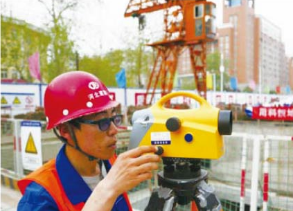
Control survey, topogr����� �������Ƴ������������ �������Ƴ������������ �������Ƴ������������ �������Ƴ�������aphic survey, surve����� �������Ƴ����������� �������Ƴ������������ �������Ƴ������������ �������Ƴ������y for municipal e����� �������Ƴ������������ �������Ƴ����������� �������Ƴ������������ �������Ƴ�������ngineering, hyd����� �������Ƴ������������ �������Ƴ������������ �������Ƴ������������ �������Ƴ�������raulic engineering, cons����� �������Ƴ������������ �������Ƴ����������� �������Ƴ������������ �������Ƴ�������truction engineering, ����� �������Ƴ������������ �������Ƴ������������ �������Ƴ������������ �������Ƴ�������precision engineerin����� �������Ƴ������������ �������Ƴ������������ �������Ƴ����������� �������Ƴ������g, route engineering, u����� �������Ƴ������������ �������Ƴ������������ �������Ƴ������������ �������Ƴ�������nderground pi����� �������Ƴ������������ �������Ƴ����������� �������Ƴ����������� �������Ƴ������peline detec����� �������Ƴ����������� �������Ƴ������������ �������Ƴ������������ �������Ƴ�������tion, deform����� �������Ƴ������������ �������Ƴ������������ �������Ƴ������������ �������Ƴ�������ation (sedimentatio����� �������Ƴ����������� �������Ƴ����������� �������Ƴ������������ �������Ƴ�������n) monitoring, ����� �������Ƴ������������ �������Ƴ������������ �������Ƴ������������ �������Ƴ�������finish construction����� �������Ƴ������������ �������Ƴ����������� �������Ƴ������������ �������Ƴ������� survey, and geographi����� �������Ƴ������������ �������Ƴ������������ �������Ƴ������������ �������Ƴ�������c information s����� �������Ƴ������������ �������Ƴ����������� �������Ƴ������������ �������Ƴ�������ystem (GIS) engineerin����� �������Ƴ������������ �������Ƴ������������ �������Ƴ������������ �������Ƴ�������g.